Exploring The Mine Wash Trail
Anza-Borrego Desert State Park has many short wash trails that you may not think are worth your time. We’re always surprised by how many friends spend time off-roading at Ocotillo Wells and have never visited places like Fonts Point, Inspiration Point, or Vista del Malpais just a short distance away. We’ve found that a good rule of thumb is if a trail has a name, and not just a number, it’s usually worth taking.
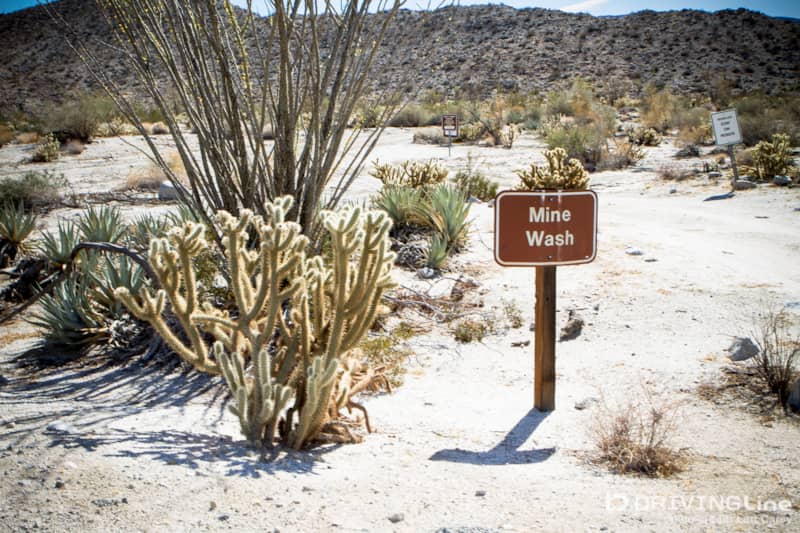
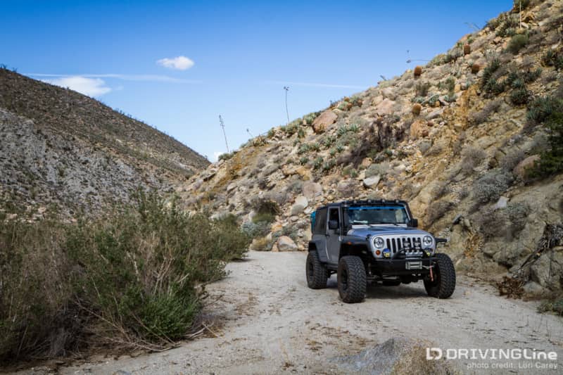
We figured there must be a good reason that Mine Wash had a sign with a name, so we decided to investigate. The trail begins on Highway 78, 2.7 miles east of the intersection with Yaqui Pass Road.
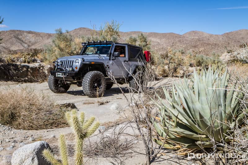
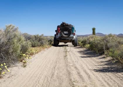
The sandy trail crosses the Mescal Bajada, named for the abundance of desert agave found here. It is suitable for stock SUV, but like most desert trails, conditions change with the weather and seasons. Monsoon season had done some damage and we found the trail a bit rougher than expected, although still easy to navigate. Four-wheel drive is not necessary, but you will want a high-clearance vehicle.
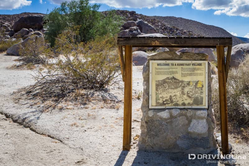
At 1.6 miles, you will find an interpretive sign for a prehistoric Kumeyaay Indian settlement. The Kumeyaay tribes living in the Laguna Mountains would migrate to the desert during the winter and stay here until spring.
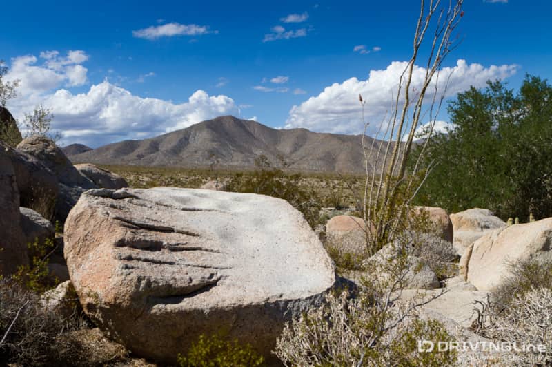
Scientists have estimated that this winter base camp was used most extensively 1100 years ago, long before Spanish explorers arrived, and was still in use as recently as the 1800s. The size and scope of the site is truly amazing. When you first approach the site you’ll notice morteros and metates in the granitic boulders scattered between ironwood trees. Morteros, or mortars are rounded depressions; mutates are basin-shaped depressions. Both are grinding surfaces for processing seeds, nuts, and beans.
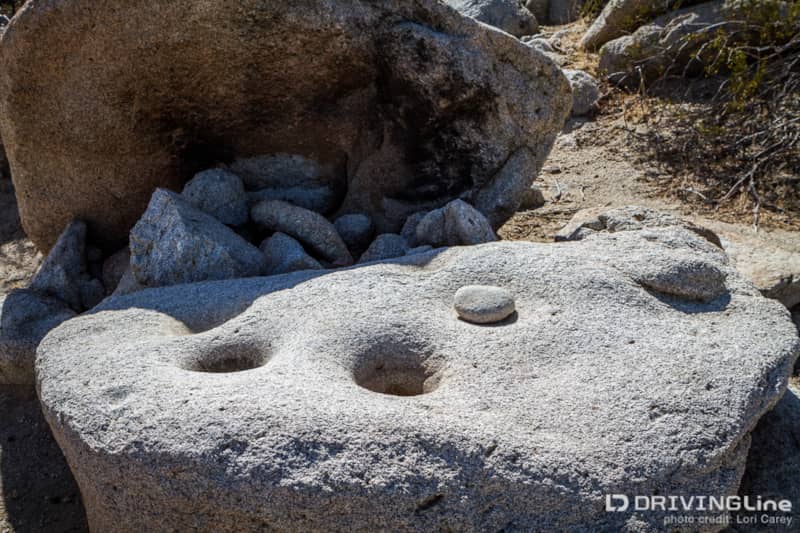
When you get closer to the large outcropping of boulders, you realize that this must have been a large community kitchen, and there are hundreds of morteros and metates, as well as manos, the stones used to pound and grind the seeds and nuts. You can see blackened rock where fires were once built, and scientists have identified several agave roasting pits.
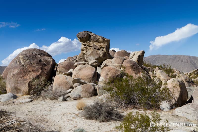
The interior of the largest jumble of rocks is open to the sky and there are more food processing stations inside.
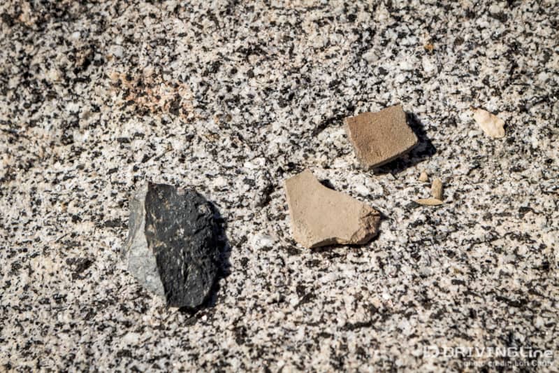
We also found a small pile of pottery shards and what appeared to be a stone tool carefully placed on one of the boulders. Shell beads and projectile points have also been found here. It is illegal to harvest artifacts, so if you find anything, please leave it in place.
In rocky cliffs to the east, you can find many small caves that were used for shelter by the Kumeyaay. We also found more morteros scattered amidst the boulders. The absolute quiet is noticeable. It is very peaceful here.
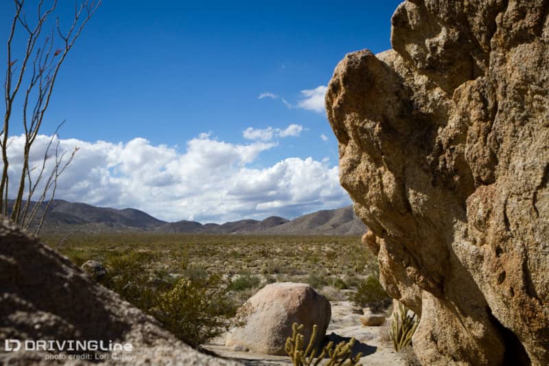
The abundance of plant life on the Mescal Bajada shows why this was a desirable location for a settlement. Some of the plants growing in this area include ocotillo, creosote bush, cholla, agave, prickly pear, beavertail cactus, Indian rice grass, Indian tea, jojoba, indigo bush, galleta grass, mojave yucca, fishhook cactus, desert ironwood trees, smoke trees, desert lavender, burroweed, chuparosa, and many others.
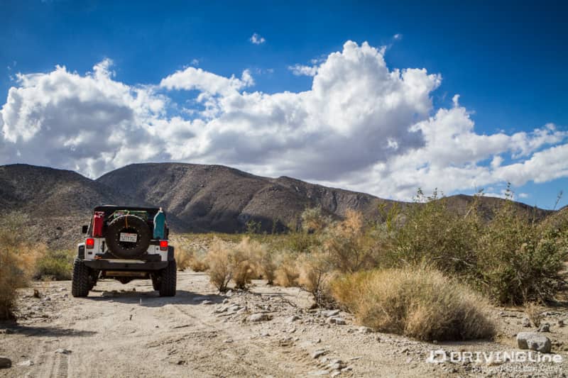
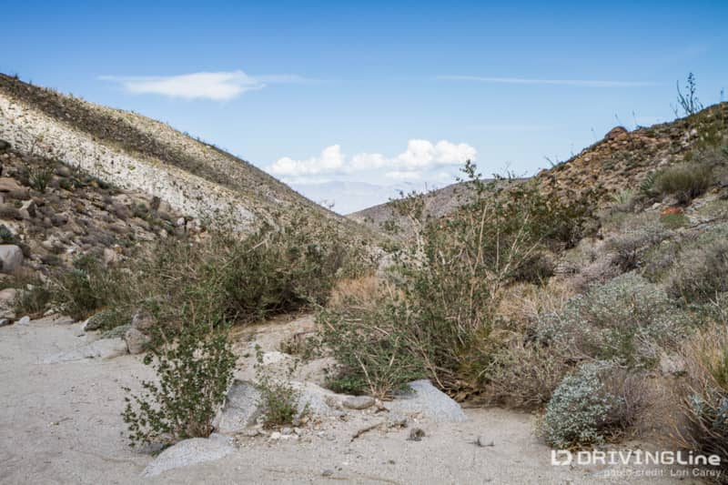
The trail continues south from the village site, gently climbing into Mine Canyon and the Pinyon Mountains.
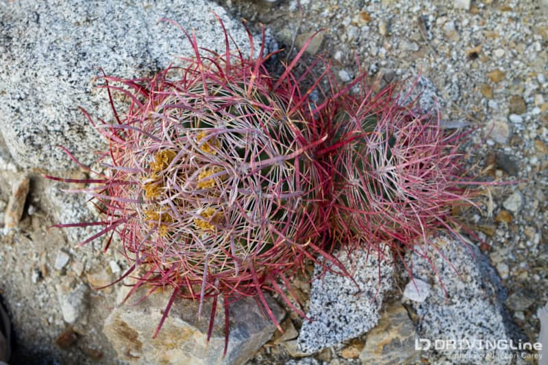
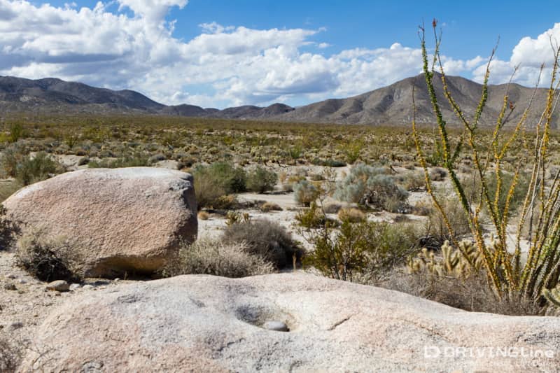
Total elevation gain is 1,400 feet. As you rise in elevation the terrain changes, and so does the plant life. The walls of the canyon become a dense cactus garden.
Several more morteros are located in the area to the west at mile 2.5. The trail dead ends at mile 4.6, near the abandoned gold mine tunnel for which the trail was named.
If you explore further on foot you can find more morteros and two Yoni rocks. Since Driving Line is a family-friendly site, we’ll let those of you who are over age 18 research Yoni on your own. We have also read that a plane crash site is located on a hill to the east, but we were not able to locate it. Ambitious hikers can continue climbing to a viewpoint overlooking Earthquake Valley.
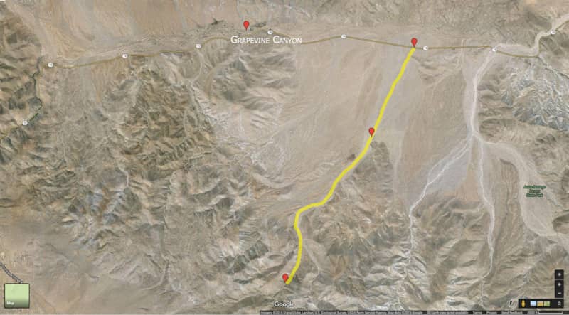
Although the trail is fairly short at just over nine miles out and back, you can easily spend many hours exploring areas just off the trail. We didn’t give myself nearly enough time to explore on foot and plan to return in the spring when the wildflowers are blooming. Next time you’re in the area, put this trail on your list of must-dos. Mine Wash can easily be combined with Grapevine Canyon for a full day of archaeological trail exploration.