Hunting Petroglyphs in the Rodman Mountains
Every time we visit Johnson Valley, either for King of The Hammers or to go rock crawling with friends, we’ve always wondered what lies beyond the mountains surrounding the open-riding OHV area. Surrounding Lucerne Valley just east of the open-riding OHV area are the Newberry Mountains Wilderness, the Ord Mountains, Rodman Mountains Wilderness, the Granite Mountains and more — all with an established network of trails and plenty of opportunities for exploring.

We set out to find Surprise Tank, one of the largest petroglyph sites in California, in the Rodman Mountains Wilderness. The 34,264-acre wilderness area has a large lava flow through the middle of it, and the lava created several natural tanks. The tanks collect and hold water during desert storms, a vital resource in the desert. The Rodmans are also known as a raptor breeding ground, and we were hoping to spot some golden eagles.
Getting There
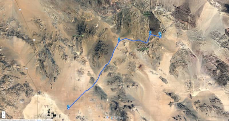
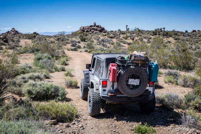
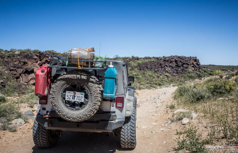
We started on Camp Rock Road, best known as the back entrance to Johnson Valley and the Cougar Buttes area. There was a lot of traffic on the graded road that travels through the valley between the Newberry and Ord Mountains. We followed the road for 14 miles past the entrance to Johnson Valley and turned at a small sign for the Cinder Mine. At one time this was marked OJ228 — Pipkin Cinder Cone Road, but now there is nothing but a small sign for the mine. Further along the trail, the route is marked Canyon Route.
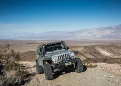
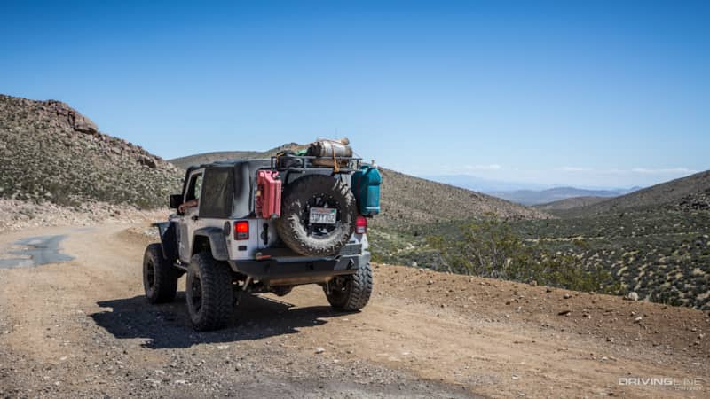
As Canyon Route climbed in elevation, we got some spectacular views of the valley below and snow-capped mountains in the distance.
At one time a portion of this road had been paved, and as you wind your way around the switchbacks you'll spot some patches of the old road.
Absent of proper trail numbers, just follow the signs for Canyon Route. After 6.5 miles, when the cinder mine comes into sight, there will be a spur trail off to the right. This used to be OJ233, but apparently is no longer.
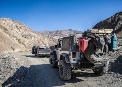
This section of trail is rougher, and high clearance is required.
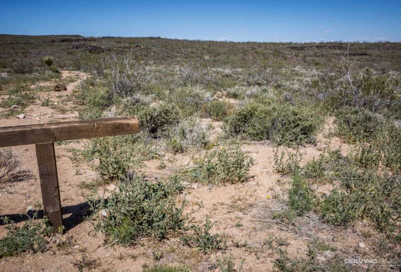
You will soon see a basalt ravine on the left side of the trail. There are some petroglyphs here, but the site has been heavily vandalized. I’ll never understand why people think this is okay. These sites are sacred to Native Americans, so please show them the proper respect they deserve.
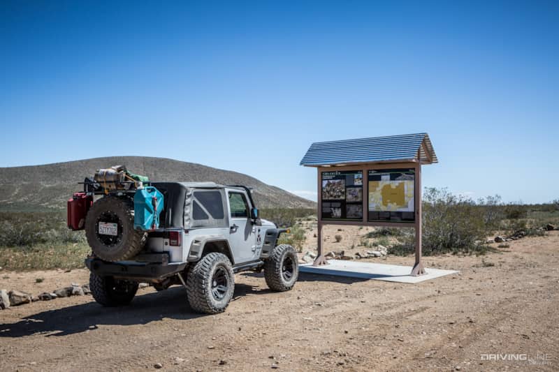
There is a kiosk with interpretive information and a map of the wilderness area (but no mention of Surprise Tank). Because this is a designated Wilderness, motorized vehicle travel is strictly controlled. You may only travel on the designated open routes.
Surprise Tank
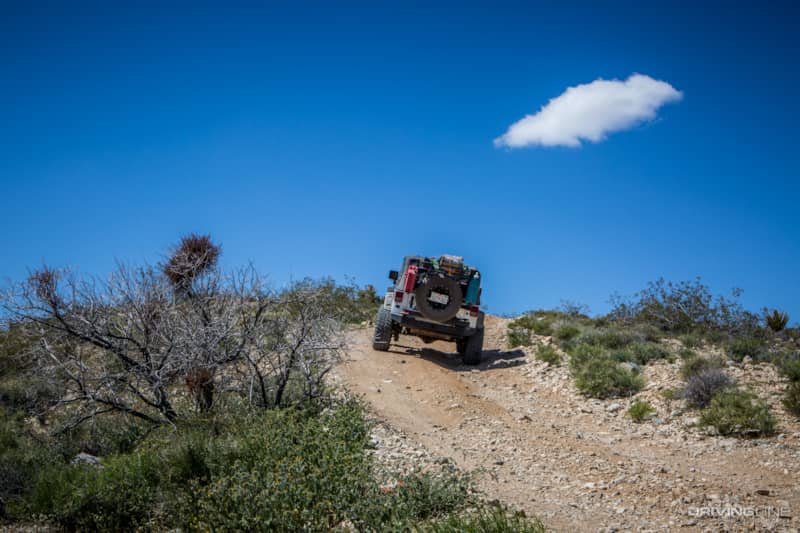
At 1.8 miles there is a spur trail to the left. According to people who have recently traveled here, the trail is sometimes closed. It was open when we visited, and we took it a short distance to a parking area.
We followed the well-worn foot path to Surprise Tank, a basalt ravine or arroyo. I think it is named Surprise Tank because you would never know it is there until you are right on top of it.
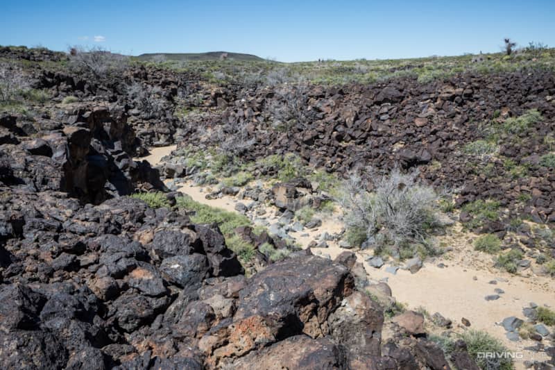
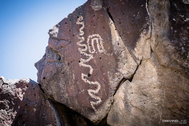
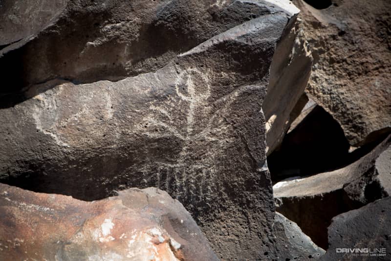
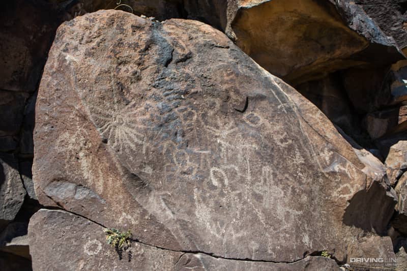
The natural tank is 100 yards long, the length of a football field minus the end zones. There are over 900 petroglyphs at Surprise Tank, and the oldest dated is thought to be 10,000 years old.
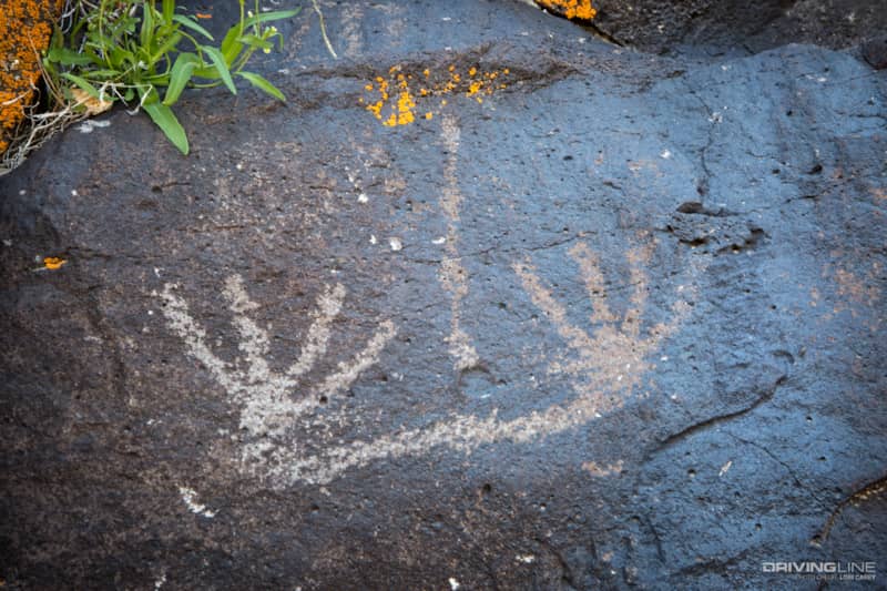
There is also a cave known as the Rattlesnake Shaman’s Cave because of the wiggly line petroglyphs surrounding it. These petroglyphs are thought to represent rattlesnakes.
There is some vandalism at Surprise Tank, but not nearly as bad as it is at the first ravine and the site is definitely worth visiting. We spent several hours exploring the entire site.
I read in several sources that not far from here there had been a fenced area containing two geoglyphs. I only had a general idea of the location, but the fence was supposed to be easily spotted.
After we finished at Surprise Tank, we retraced our steps hoping to find the fencing that we had missed on our way in. No such luck. Either I’m going blind or the fencing has been removed. Given the amount of vandalism in the area, it wouldn’t surprise me if the BLM decided that the fence was drawing too much attention, and that the geoglyphs would be better protected if they were harder to find.

Speaking of vandalism, many of the side trails have been closed in the Wilderness area. We noticed that a few off-roaders recently went around one of the trail closures and made camp behind a rock formation. You can’t see it well in this photo (below), but there are several sets of large tire tracks going around the barrier. We get just as upset about trail closures as anyone, but this is not cool. Given the amount of vandalism in this sensitive wilderness area, I wouldn’t be surprised if the entire Wilderness Area was closed permanently to motor vehicle traffic, and we’d have no one to blame but ourselves for the loss of it. Tread Lightly and help preserve access for everyone.
We did this trip as an out-and-back, and it was just about 20 miles off pavement in each direction. It could make a great side trip if you’re out wheeling the Hammers trails in Johnson Valley and looking for a change of pace from hard core rock crawling.