The Best Way to the Bottom: Grand Canyon 4x4 Trail Review
Driving your 4x4 to the bottom of the Grand Canyon may conjure up images from the movie Thelma & Louise. Before you recreate the scene of their 1966 Ford Thunderbird barreling over the edge of the canyon, we're here to tell you there's a better way down. With a mildly equipped 4x4, you can drive down an actual road leading to the Colorado River at the bottom of the Grand Canyon. A couple of years ago, I was in a hotel lobby in Flagstaff, Arizona when I saw a bright yellow pamphlet advertising "Jeep Tours to the Bottom of the Grand Canyon." Several months passed and I couldn't stop thinking about it. I didn’t want to take a tour though, I was planning an adventure to the bottom with my own vehicle.
Getting There
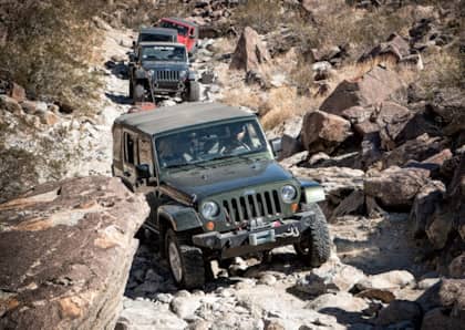
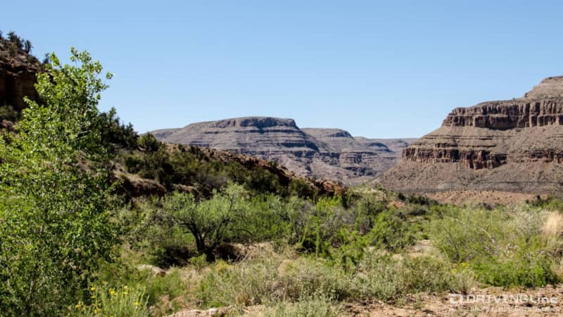
After spending some time researching this mysterious road on the internet, and looking at satellite images in Google Earth, I finally found the route to the bottom. The road is called Diamond Creek and departs from the small town of Peach Springs, Arizona located on historic Route 66. The town can be accessed by exiting I-40 at Kingman coming from the west or Seligman from the east. My trip began with a brief stop at The Hualapai Lodge in the middle of town. Diamond Creek Road is located on Hualapai tribal land, so a permit is required to access the road. My travel companion and I purchased our permits from the hotel's concierge desk. Fees vary based on the number of people traveling and whether for day-use or overnight-use. Wanting to make the most of our trip, we bought permits that would allow us to camp overnight at the bottom of the canyon. With permits in-hand, we left the hotel and crossed Rt. 66 taking Diamond Creek Road to the edge of town where the 19 mile long dirt road to the bottom begins. The road starts by winding through some small canyons and hills before opening up to a wide canyon with lush vegetation.
The road continues its descent, and before long you really get the feeling that you are deep in canyon country as the steep walls tower above. We weren't certain what to expect for road conditions, but it was well-maintained from start to end.
What to Expect of Grand Canyon Off-Road Trail Conditions
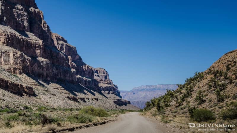
With so much breathtaking scenery in front and behind, you won't mind the 25 MPH speed limit along the entire route. Watch out for rough dry wash crossings and drop-offs on the sides of the road that can sneak up on you if you are going too fast. Take your time and enjoy the views.
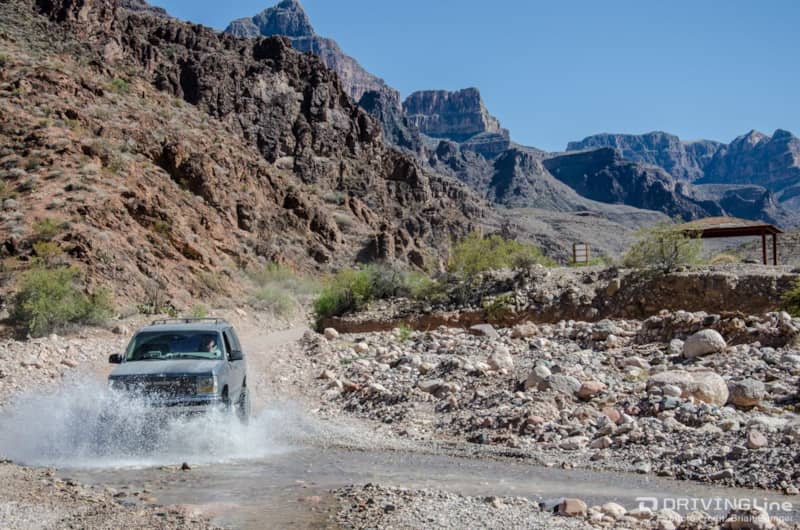
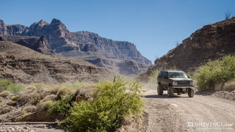
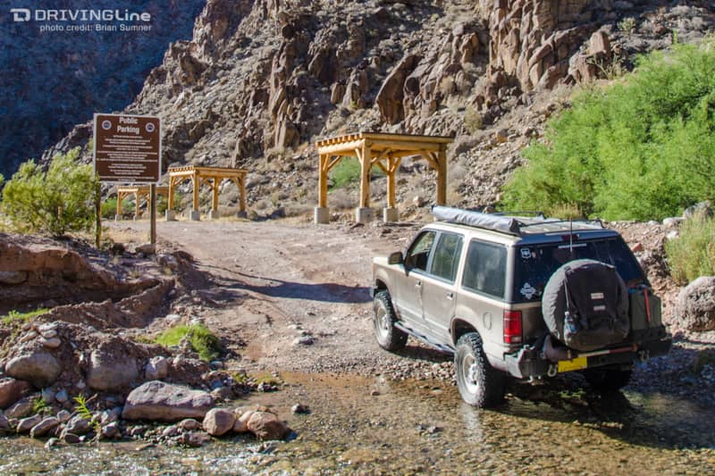
Getting closer to the river, several streams cross the road. A high-clearance 4x4 is recommended for this road because the stream bottoms and even dry washes can have sharp rocks sticking up - such as this one just waiting to kiss the oil pan of a passenger car.
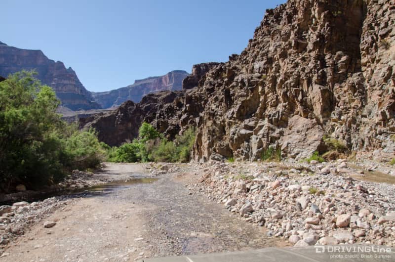
Less than a mile away from the Colorado River, the canyon starts to close in and more water flows over the road. Small waterfalls can be seen off to the side of the road, adding to the beauty of being down in the canyon.
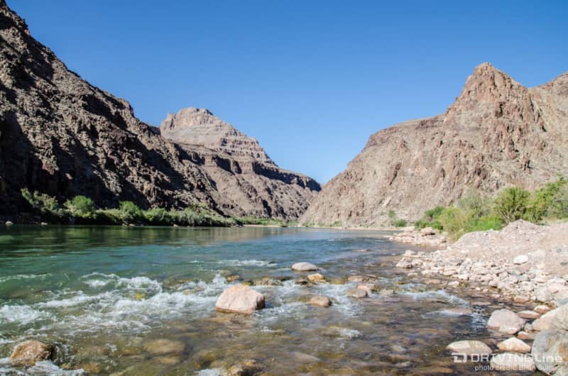
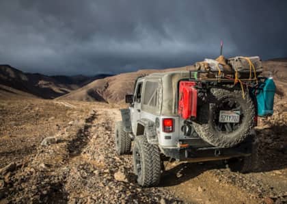
It took far longer to discover the route than it did to traverse it - in just under an hour we had reached the Colorado River at the bottom of the Grand Canyon. The canyon here is not as deep and spectacular as upriver, but this is the only place where you can say that you drove to the bottom of the Grand Canyon.
Camping and Other Activities Once You Reach the Bottom
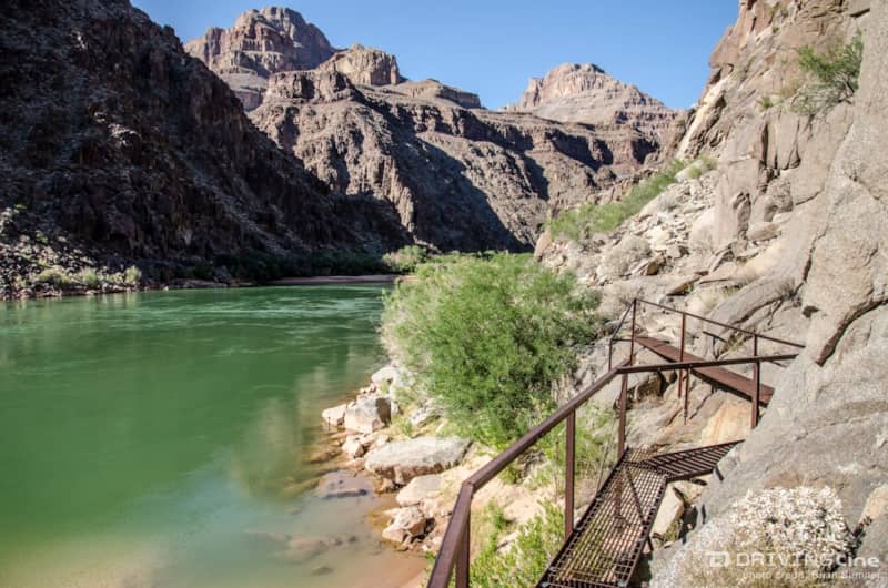
Before setting up camp we explored the area on foot, finding this metal catwalk along the edge of the canyon allowing for hiking along the river during high water conditions. A small, sandy beach is also nearby, offering an alternative to the rocky beach directly at the end of the road.
The camping area is just above the river and is accessed by crossing another small stream. A wooden shade structures is provided at each site. During our visit, we had the place to ourselves - with only the white noise of the mighty Colorado River providing a peaceful night of sleep. Rafting operations were just starting up the next morning as we broke camp. The drive back up was just as fun and scenic as the drive down. While we did encounter some traffic, including buses shuttling people down for a day of rafting, we never did see that '66 Ford Thunderbird.
More From Driving Line
- Have you been on this trail? Leave your own comments and suggestions below, then check out more of our trail reviews here at DrivingLine.