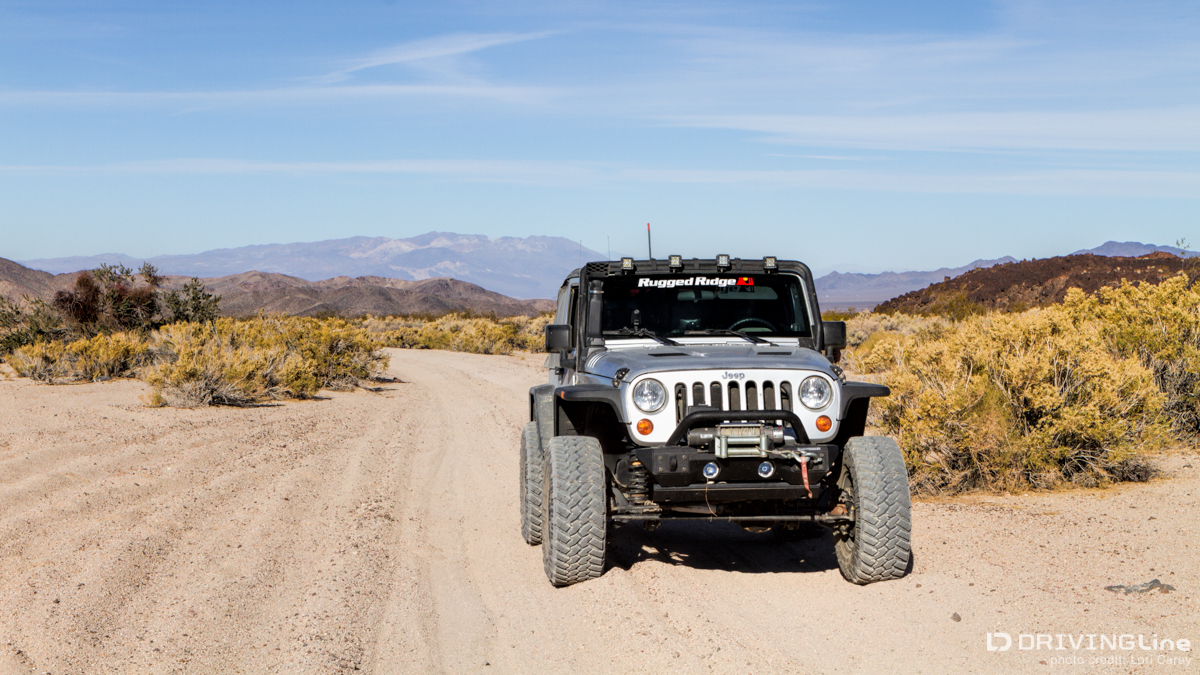
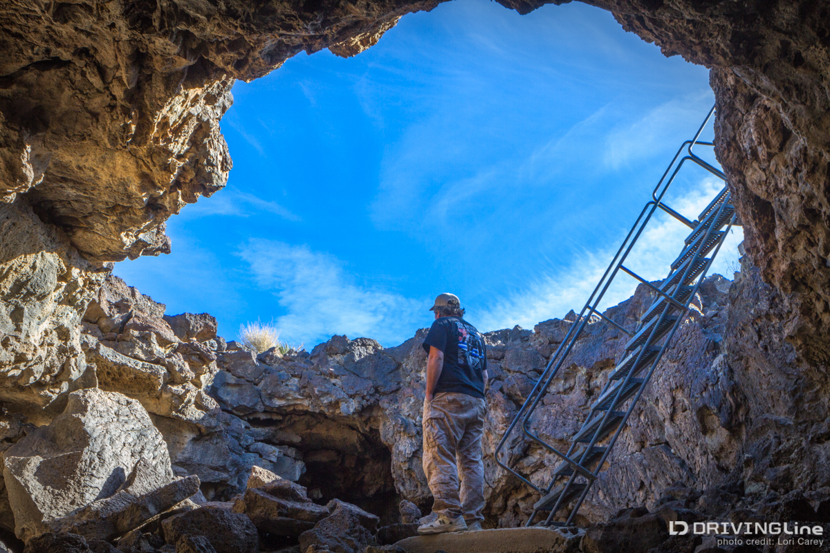
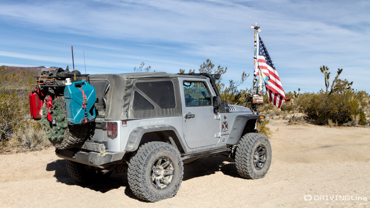
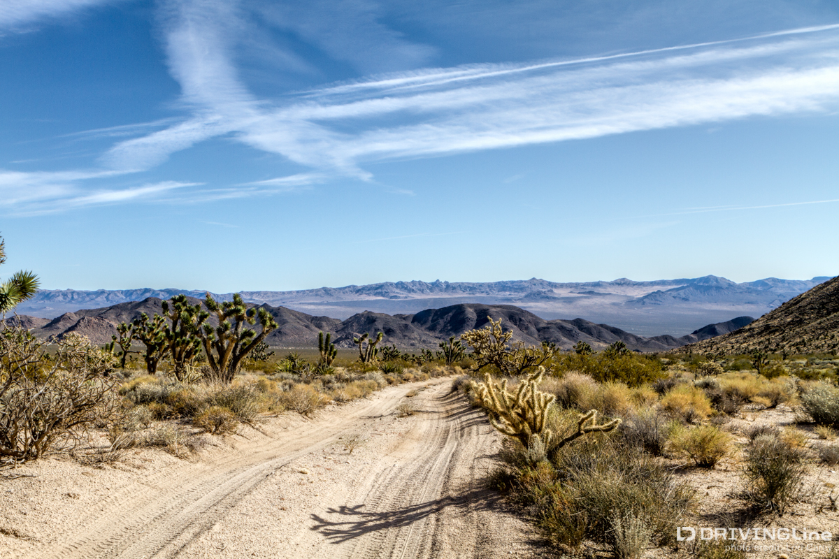
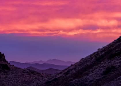
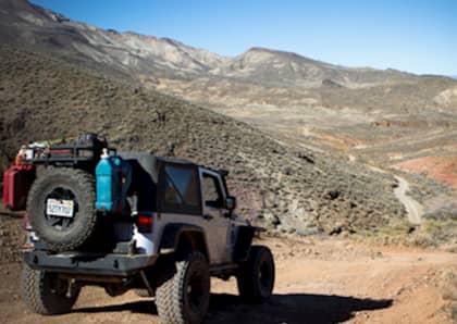
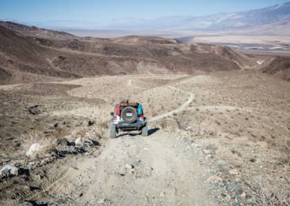
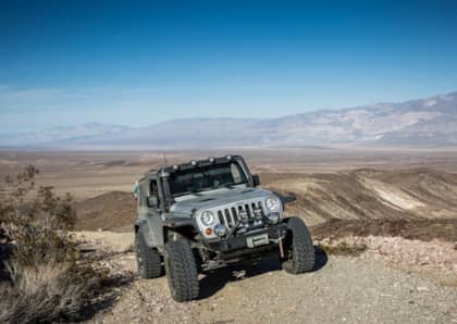
This is a continuation of my three day adventure along the historic Mojave Road trail. Make sure to read Part I! In our first day of this 128 mile journey though the Mojave National Preserve we'd navigated through Manix Wash, Afton Canyon, before heading across Soda Lake... We reached the opposite side of the 20-mile dry lake bed of Soda Lake just as the sun was about to sink below the horizon. We had planned to head to the Green Rock Mill to camp for the night when we came across a group of vehicles pulled to the side of the trail. Stopping to check if they needed help, they asked if we'd seen a couple of Land Rovers and Jeep - the same vehicles we'd come across hours ago, back at the Mojave River Crossing in Afton Canyon. Apparently, after the Land Rover got stuck in the river most of the group kept moving, leaving some “newbies” behind to pull the Land Rover out of the river and catch up (they clearly didn't read my Off-Road Trail Etiquette article!) As the Land Rover had stalled out in the deep Mojave River crossing, it was a sure sign of water in the engine... which means it's very unlikely the Land Rover will be going anywhere under it's own power. What's worse, the newbies helping tow the Rover out hadn't traveled the Mojave Road before, were stuck on the wrong side of the river, and were without a map or gps. They'd have to travel the length of Afton Canyon through very deep sand until reaching the Raser OHV area to find a road which could return them to semi-civilization. The group we were talking to were relying on only CB radios for communication, which have a very limited range. We chastised them for being out there unprepared and for leaving part of their group stranded and alone on the trail. They realized they needed to do the right thing and backtracked to search for their friends, even though it meant traveling in the dark. After they left, we realized that one vehicle stayed behind. Edward and Alisa were traveling solo in a pickup truck and the rough terrain had ripped off the leading edge of his skid plate. Without the proper tools to reattach the skid plate, it was acting like a shovel as it scooped up sand and prevented their rig from moving forward. They had no choice but to stop on the side of the trail and prepare to spend the night, dealing with the problem in the morning. Ironically, I had been suggesting that we carry fewer tools to make packing easier; trying to fit everything needed for an overland trek (plus all of my camera gear) in a 2DR Jeep might lead to a divorce one day! My husband won the tool argument, which is why we had the necessary tools to fix Edward’s skid plate. By the time we finished the job, it was dark - so we asked if they minded if we set up camp alongside them for the night. I had turkey and all the holiday fixings in the cooler, but it had been a long day and no one was up to preparing dinner. So instead, we shared whiskey and camaraderie around the campfire before turning in for the night. They were a great couple and we had a lot in common - one of the best things about time spent on the trail is the people you meet along the way. We tried to encourage Edward and Alisa to travel with us, but they decided it would be smarter to head home and return one day after making sure their vehicle is better prepared for these conditions. We exchanged contact information before parting ways, and then started making our way around the mountains into Willow Wash toward Cinder Cones and Lava Beds National Natural Monument. The volcanic field is one of my favorite areas out here; the area includes 40 volcanic cinder cones that glow red when the sun is low, and extensive thick black basalt lava flows. The sharp basalt rock, though beautiful, is a tire-killer - so you want to be sure you've got a good tough tire (such as my Nitto Trail Grapplers). A friend once got two flats here when both his front and rear tires ran over the same hidden rock. Luckily, someone else in our group had a spare that would fit - but that meant two of the rigs in our group had no spare for the rest of the trip! It's these unexpected scenarios that can quickly get you into trouble out in the wild. We crossed over Kelbaker Road, which will lead you 15 miles to Baker 15 if you need gas or supplies, before making a detour onto Aiken Mine Road to visit the lava tube. At the right time of day, you can photograph a shaft of light shining into the tube, much like the iconic photos of Antelope Canyon (such as the one recently sold by Peter Lik for $6.5 million!). As we climbed down into the upper chamber, we noted that the ladder had been secured and was in much better condition than the last time we visited. We met another photographer there, and between us we estimated that it would be another 3-4 hours before the sun would be high enough to shine into the lower chamber. Not wanting to wait that long, we got back in the Jeep and continued through the lava field, down into Willow Wash toward Cima Dome. The Cima Dome region has the densest concentration of Joshua Trees anywhere in the world. That surprises many people, who think it would be Joshua Tree National Park, but it is here where you find endless miles of the iconic desert plant. The trail here is more deep sand and full of whoops, like an endless roller coaster ride. After 59 miles on the trail we reached the Mojave Mailbox, erected in 1983 by the Friends of the Mojave Road. Passersby are asked to sign the logbook, and many leave supplies. There was a case of water at the base of the flagpole, and inside the mailbox was everything from matches and bandages to trinkets and magazines. We signed the log book and then paid a visit to the Frog Shrine a short walk away. We had been steadily climbing out of the low desert and were now at an elevation of 4,304 feet, but would continue climbing to 4,557 feet as we made our way to Marl Springs. There was still beauty and adventure ahead for us... to be continued soon in the final Part III. (Read Part 1 here if you missed it!)
Have you traveled the Mojave Road? Leave a comment about your favorite section or memory!