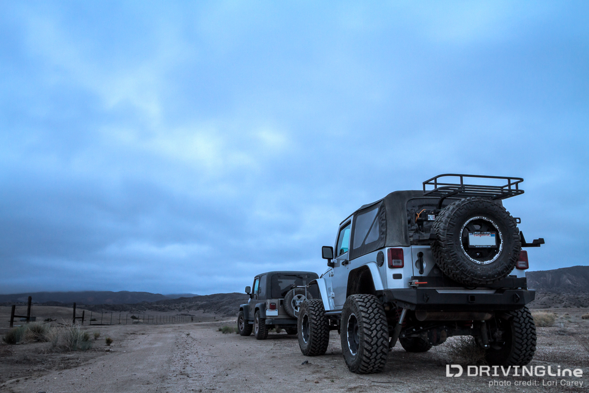
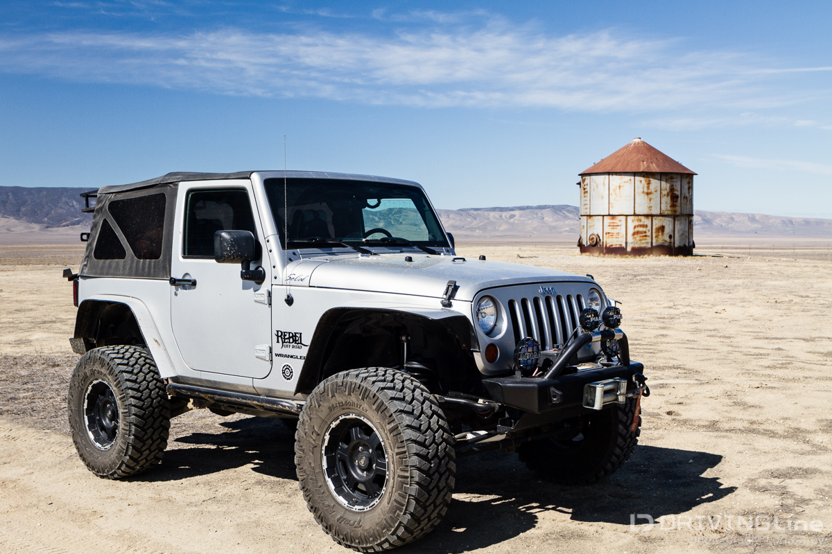
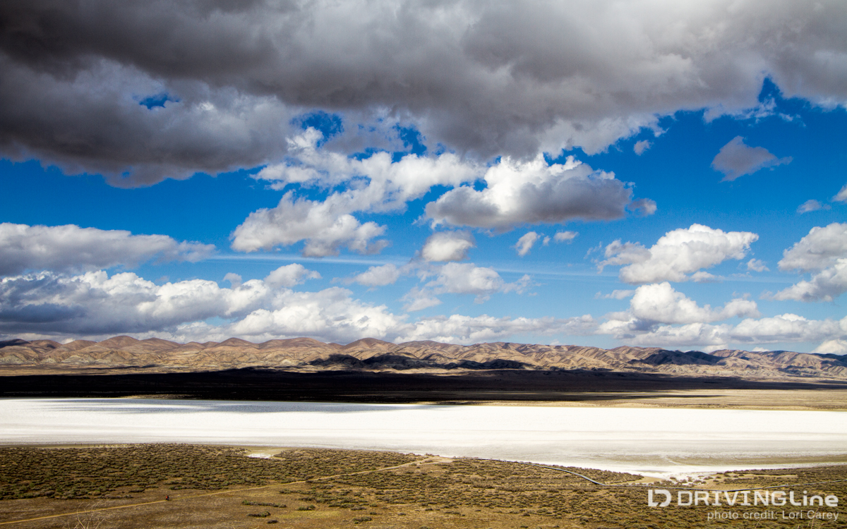
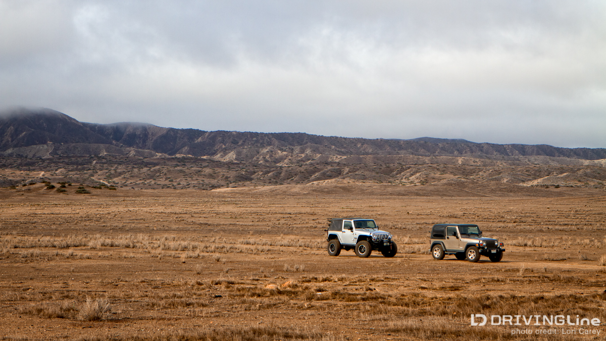
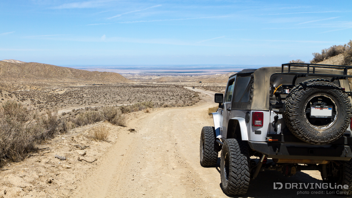
For June's Monthly Series we'll be following five very different road trips as we slide into summer and explore freedom on the open road! Come back each Monday for a new installment. To kick things off with, lets follow Lori through California's largest grassland area, Carrizo Plain. My friend Marc, a talented landscape and wildlife photographer, had been offering to play tour guide for a photographers’ road trip through Carrizo Plains for almost a year before we were finally able to coordinate schedules and make it happen. Marc has spent much time exploring the jeep trails of the National Monument in his 2003 Jeep Rubicon TJ over the years and I was really looking forward to discovering what he had to show me. The Carrizo Plain National Monument is located 100 miles north of Los Angeles. At almost 250,000 acres it is the largest remaining single grassland in California and is often called “California’s Serengeti”. The plain is located between the Temblor Range to the east and the Caliente Range to the west. The San Andreas fault line runs through the middle, and the glistening white salt expanse of the ephemeral Soda Lake lies at the north end of the park. As if that wasn't enough of a temptation, Carrizo Plain is home to pronghorn antelopes, the second fastest mammal on land, as well as Tule elk, eagles and the endangered San Joaquin kit fox. I set out on Friday morning toward our meeting spot in Maricopa, the little town outside the park on the southeastern end. After fighting Los Angeles traffic for hours, I was greeted with torrential rain just as I hit the Tejon Pass. I couldn't escape the irony of rain threatening my plans while California was in the midst of a state-of-emergency level drought. We met outside the only gas station in Maricopa to top off our tanks and discuss options. It became obvious that the storm had settled in. The winds were brutal, the sandstorms were wicked and neither of us was thrilled with the idea of trying to set up tents in high winds, rain and mud. We decided to book rooms in the only motel in town before heading back out to chase nearby photo opportunities until the conditions forced us to seek shelter back at the hotel. The next morning it was still wet and windy when we headed out before dawn, taking Highway 166 to Soda Lake Road. Soda Lake Road is the main road through the park running 37 miles from north to south. Although it is mostly unpaved, it is well maintained. It is the only reliable road through the park that is suitable for vehicles that are not 4WD or high ground clearance. The rest of the roads are unmaintained trails that can become impassable during wet weather due to the high clay content of the soil. Once the roads are dry they may have washouts, rock slides, and deep ruts. We set off to explore the network of trails at the southwestern end of the park in the Caliente foothills. Although it was still raining on and off the trails were in good condition. Most of the trails throughout the park are not named; you have to be adventurous and explore to find what there is to see. There are many abandoned farmsteads hidden away along unmarked dirt roads. Houses, windmills, barns and other outbuildings, grain silos and old farming equipment stood silently as a reminder of by-gone times. We spent the morning exploring many of the old farms, hiding in our Jeeps whenever the rain got too bad, as we worked our way north. By midday the storm had started to clear and we finally got our first peek at the sun when we stopped for lunch. We continued our way north in the afternoon. It seemed as if every trail we took led to another abandoned farmstead to explore (but I’m sure that’s because my tour guide knew where they were all hidden.) We quietly peeked into every building hoping to find an owl and were finally rewarded with a Great Horned Owl sleeping in one of the barns. I spotted one pronghorn antelope out on the grassland but they are very skittish and it took off as soon as I stepped out of my Jeep. Later that afternoon we found a small herd of them, too far off for me to get a decent shot of, but it was wonderful to watch them. We decided to return to Soda Lake for sunset, remaining on the west side of the park. As luck would have it, dark, heavy gray clouds came in just as the sun was setting and it was a bust. Rather than try to find a suitable location to set up camp in the dark, we decided to spend the night at the nearby Selby Campground. The park warns that this campground should be avoided at all costs when it rains because the steep trail gets extremely slippery and becomes impassable. In the morning we headed over to the other side of the park, toward the base of the Temblor Mountains. The trail across the plain was soggy and soft, deeply rutted in places. It was clear why the park has so many strict warnings about the road conditions in wet weather. The few park services are all on the Caliente side; the two campgrounds, the Goodwin Education Center and the one maintained road. The Temblor side is wild, rugged and harsh, a very different look and feel. The main trail running north/south is Elkhorn Road. We found a trail heading up into the Panorama Hills and began our ascent. I had to shift into low gear to maintain traction going up the trail to the first overlook. Stark and barren is the only way to describe the land here. I followed Marc higher into the mountains and had to shift into 4WD to get up the next trail, an extremely steep and narrow shelf road with tight hairpin turns. My Jeep barely fit on the trail. I wanted to stop and take a photo but there was literally no room for me to step outside the Jeep. I found Marc laughing at the top, “I had to make you use 4WD at least once on this trip!” By mid afternoon I was down to an eighth of a tank of gas and the nearest gas station was many miles away back in Maricopa so we started working our way back down. As we neared civilization I thought of all the things we hadn't had time to see and do; the Painted Rock petroglyphs, the vernal pools with fairy shrimp, the San Andreas fault at Wallace Creek, eagles and tule elk. I knew it wouldn't be long before I returned to Carrizo Plain. For more information about the Carrizo Plain National Monument, including directions, maps and road conditions, I recommend the Goodwin Education Center page on the BLM website. Perhaps with the weather some wouldn't categorize this outing as "The Ultimate Road Trip" - but when you're an avid off-roader, the sense of adventure in exploring a new place is as much as you need to make any journey successful!