Fissure Mountain: The Original Hammer Trail
The excitement of King of the Hammers has come to an end. If you’re one of the lucky ones attending the event, you’ll no doubt be face with two options. One, sit for hours on Boone Road in traffic to leave. Or, you choose option two like we did and go ‘wheeling!
After a full week of watching the best off road racers from around the world compete on the Hammer trails, it’s a good feeling to take our rigs out and reclaim Johnson Valley as the enthusiast mecca that it is. Saturday morning, while the rest of Hammertown was packing up, we joined a run hosted by the Misfits Jeep Club.
Many of the Misfits had volunteered as course safety officials for race week. After putting in a long week of hard work, they were ready to relax and have some fun.
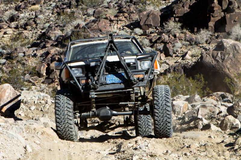
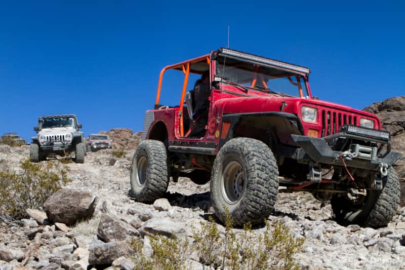
With a diverse mix of vehicles ranging from almost stock to highly modified joining the run, we decided to run Fissure Mountain. It’s the original Johnson Valley trail created by the Victor Valley 4 Wheelers long before any of the better-known double black diamond Hammers trails were created.
It was officially finished and open at Fun in the Desert 2006. Rated a moderate trail by the VV4W (3.5 on a scale of 5), Fissure Mountain is probably the easiest trail in Johnson Valley. But, it’s still typical Johnson Valley terrain with all of its fun and challenges.
Sometimes mistakenly called Fisher Mountain, the trail is named for the huge cracks in the surface of the earth created by the Landers earthquake in June of 1992. The earthquake was a right-lateral strike slip event that created a surface rupture that extended 43 miles, with displacements of up to 18 feet horizontally and 5.9 feet vertically. The Fissure Mountain trail rides right over the fault line and if you know what to look for you can see the fissures created by the earthquake.

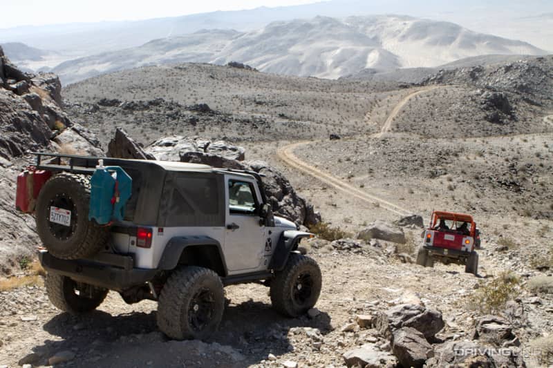
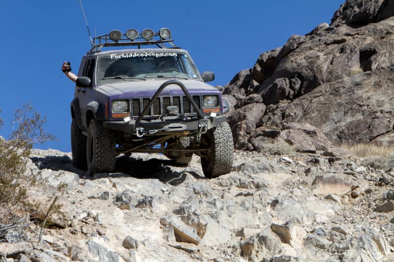
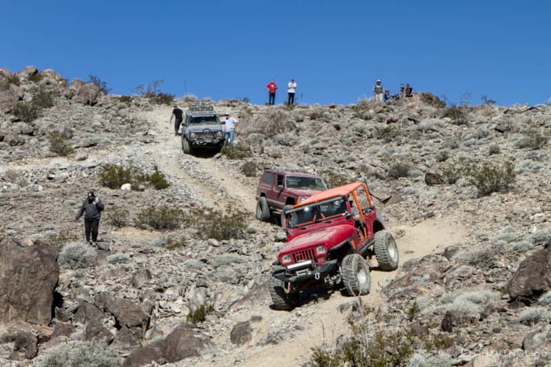
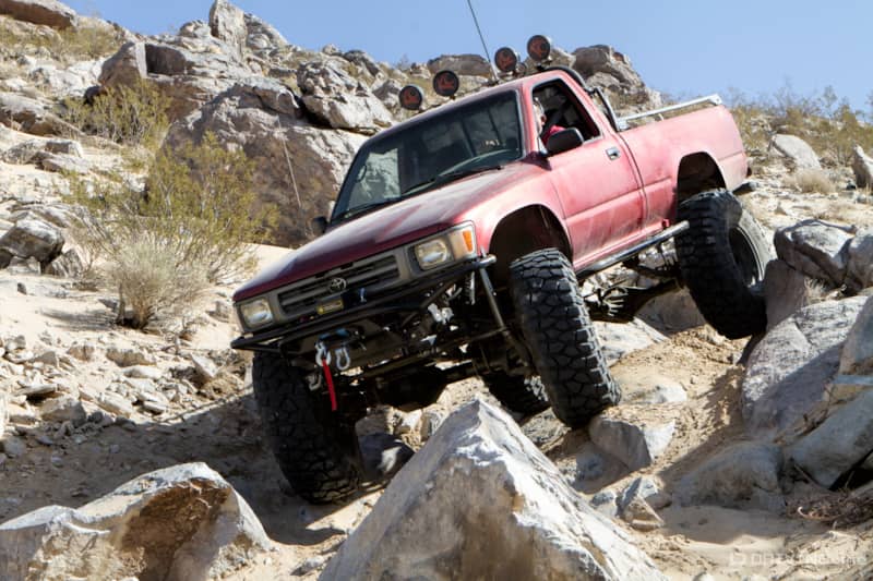
The trail begins on the valley floor with a steep and rocky climb that winds its way to the top of a mountain.
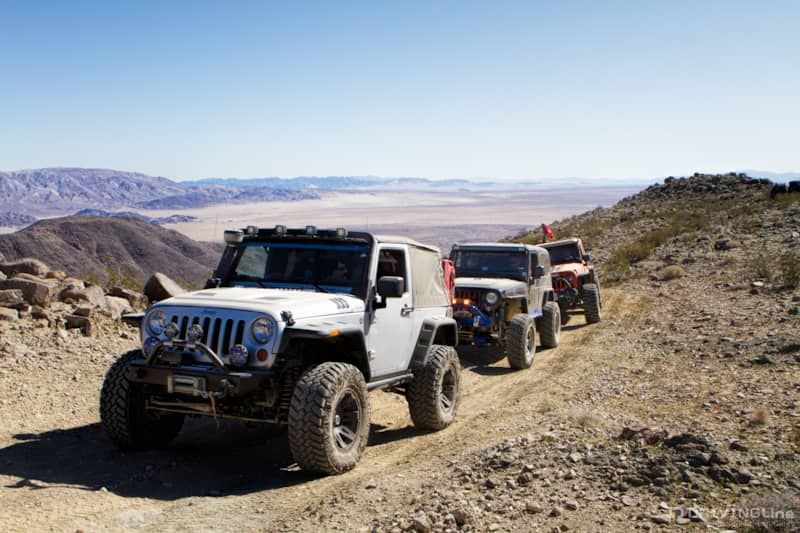
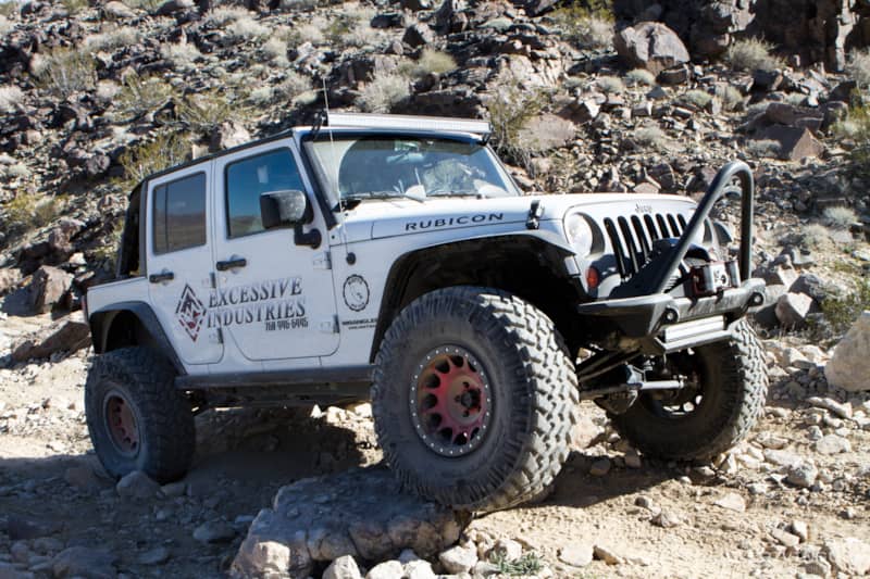
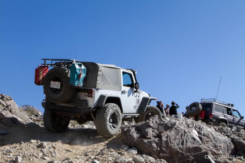
The trail snakes along the ridgeline, providing some of the most spectacular views of the Johnson Valley scenery to be found. There are several tricky off-camber and rocky slopes demand a driver’s attention.
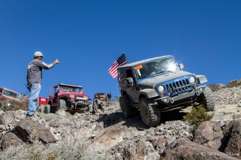
We had one small oops early on when one of the rigs chose the wrong line on a slippery off-camber descent. The passenger-side tires slid on the loose rocks right off the edge of the trail, leaving the vehicle at a precarious tilt. She was unable to get enough traction on her own to get back on course and was in danger of rolling over. “The line that feels right isn’t always the safest one here,” Trail Boss Abe Gonzales told us. The vehicle behind her attempted recovery, but the hill was too steep for him to gain enough traction to recover the heavier Jeep with a tow strap. We had to daisy chain a few rigs together to get the needed stability and leverage.
We kept an eye on the rest of the rigs as they passed through that section to make sure no one else had a problem. With everyone safely through and no other mishaps, we continued following along the twisting trail.
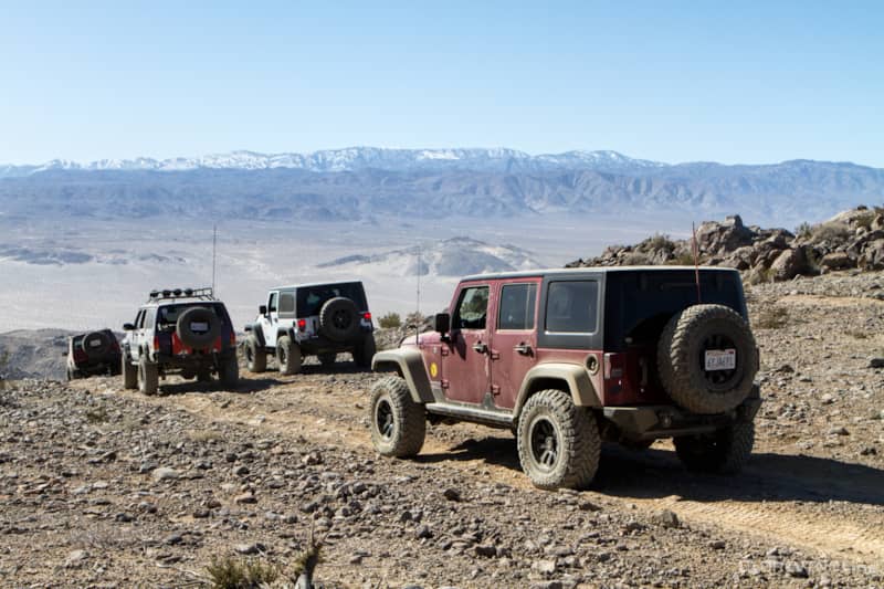
Each time we climbed to the top of the ridge, the view was more breath taking than the one before. There is nothing like being in the desert and looking up at snow-capped mountains.
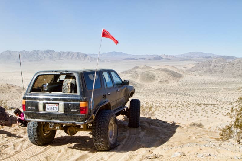
We stopped at a flat section to stretch our legs and take some photos before taking the descent off the mountain. Did we mention the amazing views from up here?
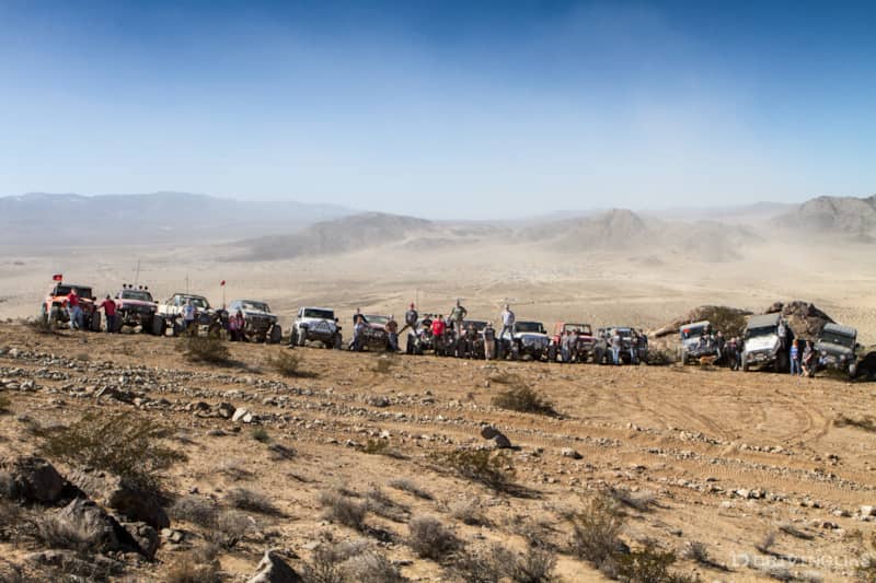
Far down below, we could barely see what remained of Hammertown through the dust that still clogged the valley.
The trail ends with a wild ride down the 45 degree Sledgehammer sand hill. If you don’t like that kind of thing, the pucker factor is pretty high due to the steepness of the drop. There is an alternative exit just a few feet away to the right for those who prefer rocks. It’s not nearly as steep as the sand hill, but it is a narrow and tricky descent over big boulders and plenty of opportunity for vehicle damage if you’re not careful. A spotter can be very helpful to avoid any damage through this section.
The next time you’re in Johnson Valley looking for a trail that a moderately modified vehicle can handle, give Fissure Mountain a run. The views alone are worth the ride, and it provides enough of a challenge that even experienced wheelers will have a good time.
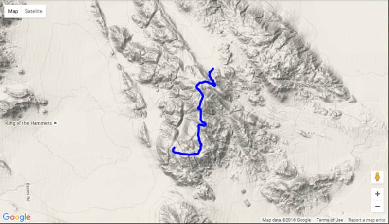
GPS Start: N34° 25.705’ W116° 27.315 GPS End : N34° 24.184’ W116° 27.821