Helter Skelter in Death Valley: Panamint Valley Trail Review
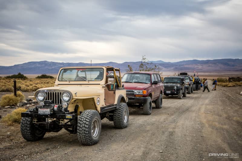
We had such a great time exploring trails in Panamint Valley over the Thanksgiving holiday last year that it was hard to wait an entire year for Cal4Wheel’s Panamint Valley Days event. We were looking forward to running some trails that we didn’t want to do solo. The annual event takes place in early November with base camp set up on BLM property off Nadeau Road, and it helps raise funds to keep our public lands open to off roaders.
The event offered an enticing array of trails, everything from mild and scenic to body-damage-guaranteed. The number of rigs permitted on each run is limited based on the difficulty of the trail. We had our heart set on doing Goler Wash/Mengel Pass, because we missed it when friends ran it a few years ago, and it’s one of the best known trails in the area.
Getting to Panamint Valley
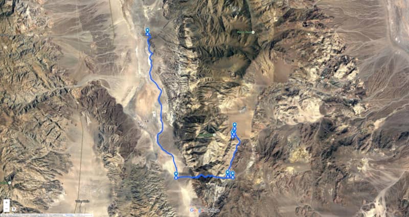
Panamint Valley abuts the western boundary of Death Valley National Park, separated by the Panamint Range, rugged mountains that include the 11,049-foot Telescope Peak. There is only one direct way over the Panamint Mountains: via Goler Canyon to Mengel Pass at 4,328 feet, and then down into Butte Valley.
Goler Canyon Trail Review
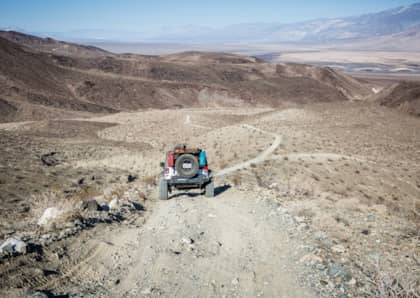
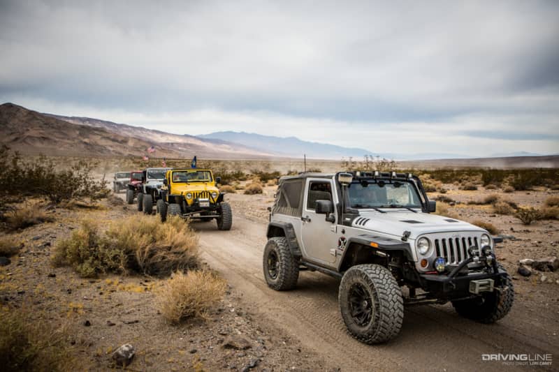
The trail starts on the Panamint Valley floor at the ghost town of Ballarat and heads south on the graded Wingate Road, following the contours of the Panamint Mountains for 15 miles before heading up the alluvial fan into Goler Canyon. Along the way, we passed the entrance to several popular trails and the Briggs Mine, which was once the top gold producer in California.
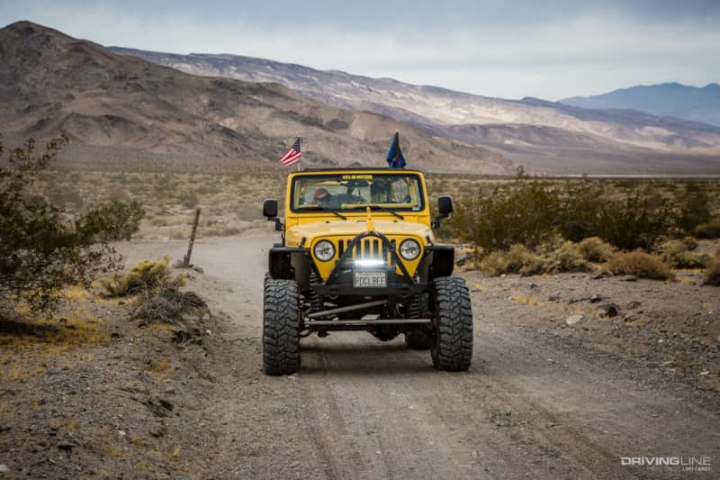
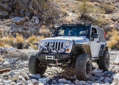
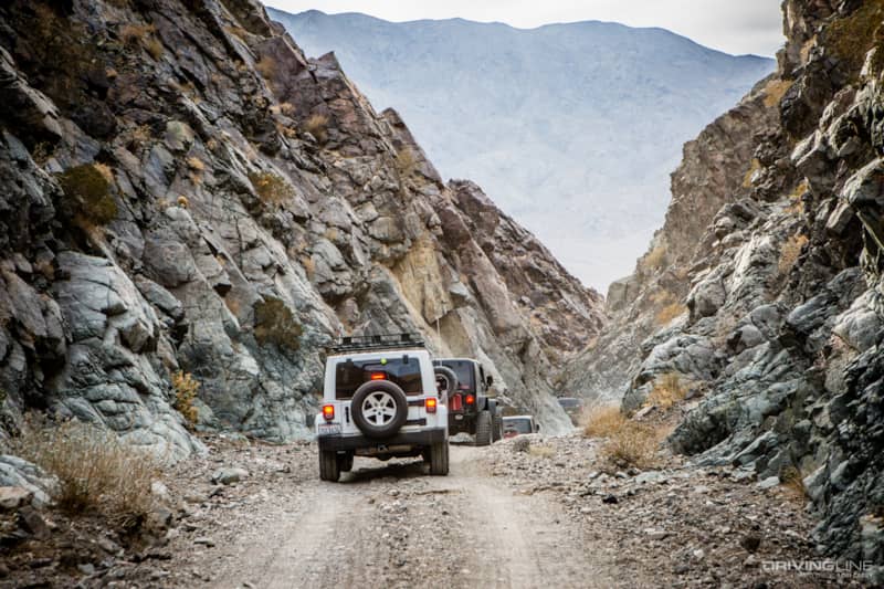
The Jeeps kicked up a lot of dust and we were well spread out when we reached the mouth of the canyon, so we waited for everyone to regroup before proceeding. Google Maps and both of my GPS units show the trail as Coyote Canyon. Coyote Canyon is a different trail starting on the north side of Manly Peak and looping around to join Goler Wash on the south side of Manly Peak. This section through Goler Canyon has always been known as Goler Wash. If you’re heading out here for the first time, make sure to start on the correct trail.
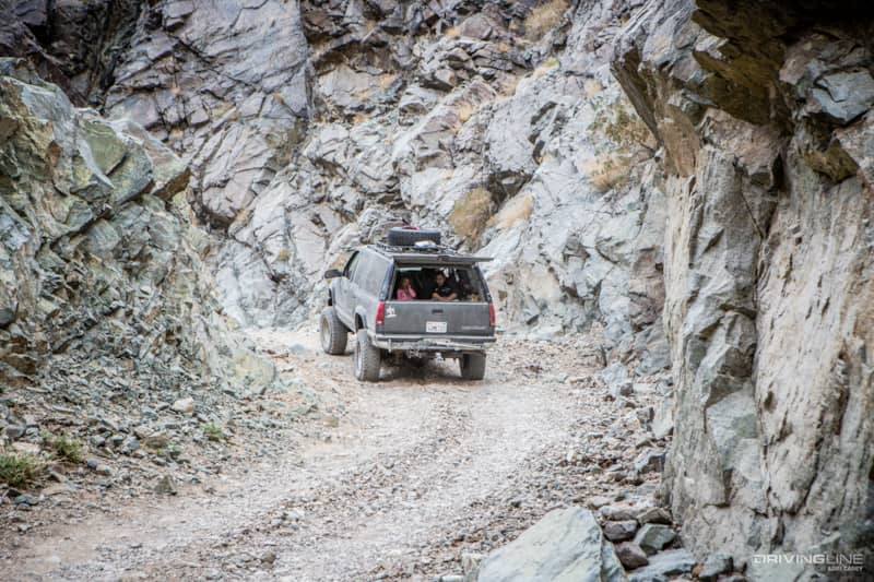
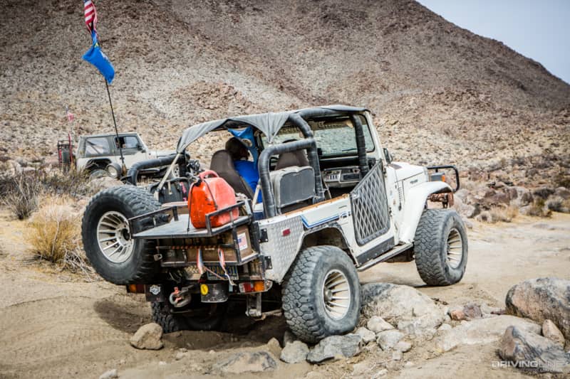
We turned east into Goler Canyon and began ascending through narrow canyon walls. There are mines and cabins scattered throughout the canyon if you have time to explore, and you can spot a tramline going up to the Lestro Mountain Mine. We had a full day of trail ahead of us and had to limit our stops, so we forged ahead toward Mengel Pass.
Wheelin' Mengel Pass towards Mengal's Cabin
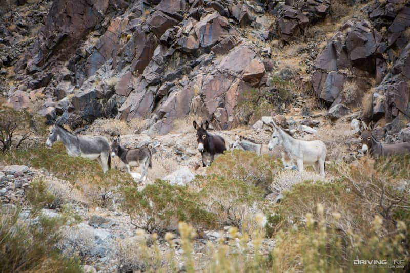
There are several flowing springs in the canyon, and sections of the trail were steep and wet with running water. This could be tricky when temperatures are low enough to cause ice, or after a storm when the mud gets deep and slippery. We spotted a herd of wild burros posing for us on the side of the trail.
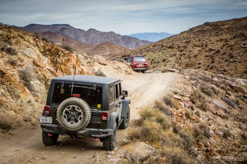
Four miles into the canyon, the trail enters Death Valley National Park. The beginning of the trail through the canyon to Mengel Pass is a slow and easy climb up the mountain.
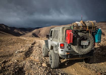
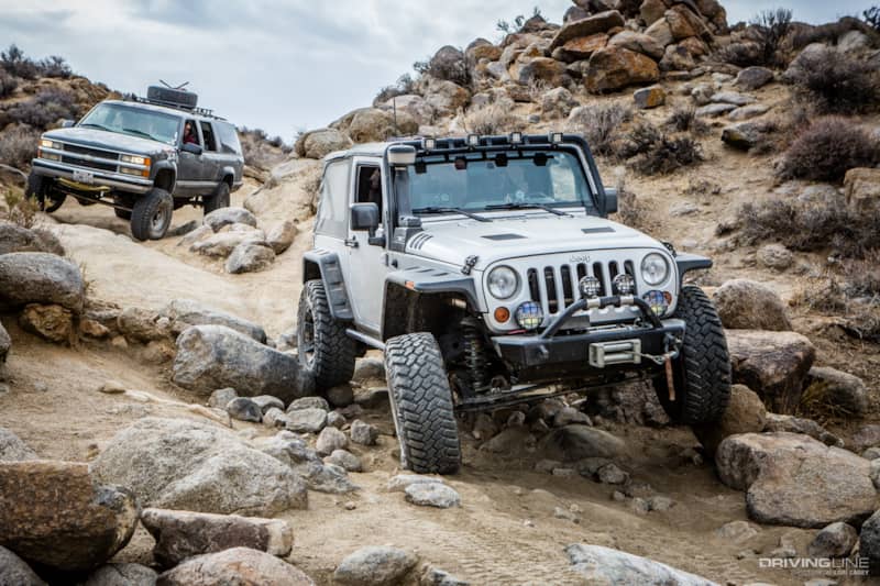
After a while the trail becomes rougher, with a few steep sections…
Some dry waterfall ledges to climb…
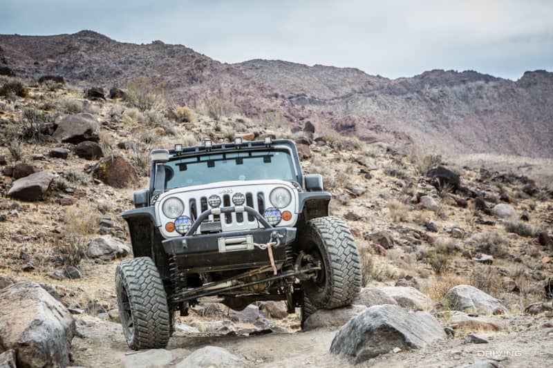
and some boulders to negotiate.
From Ballarat it is 26-miles to the summit of Mengel Pass, and the last ten miles are all uphill.
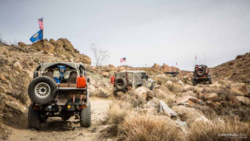
At the summit, we waited for the others to catch up while enjoying the view of Butte Valley down below.
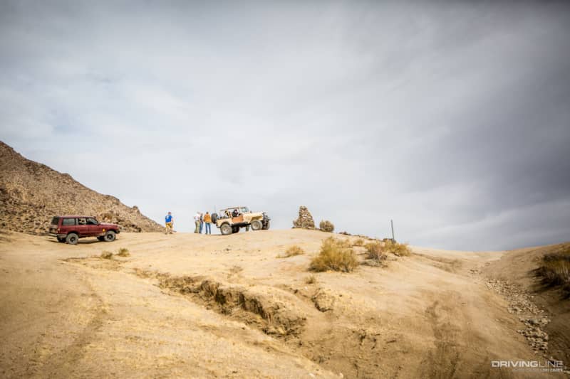
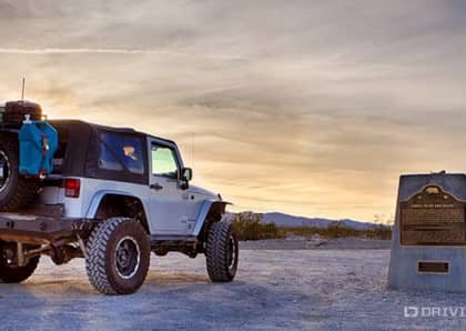
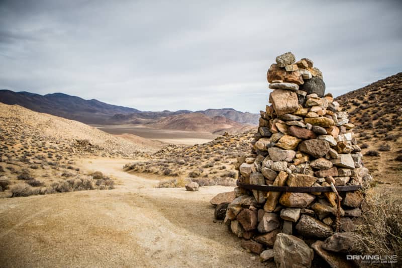
Mengel Pass is named for Carl Mengel, a prospector who lived in the area from 1912 until his death in 1944. In accordance with his request, his ashes are buried in the stone cairn at the top of the pass.
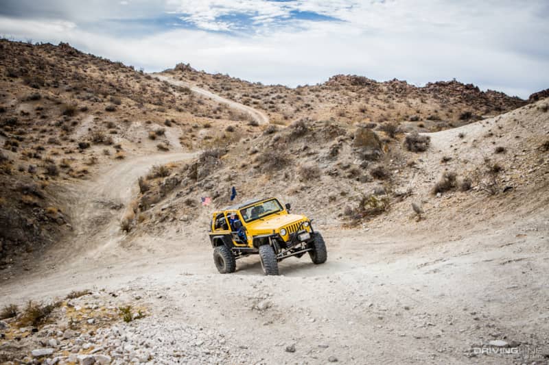
Butte Valley Off-Roading Overview
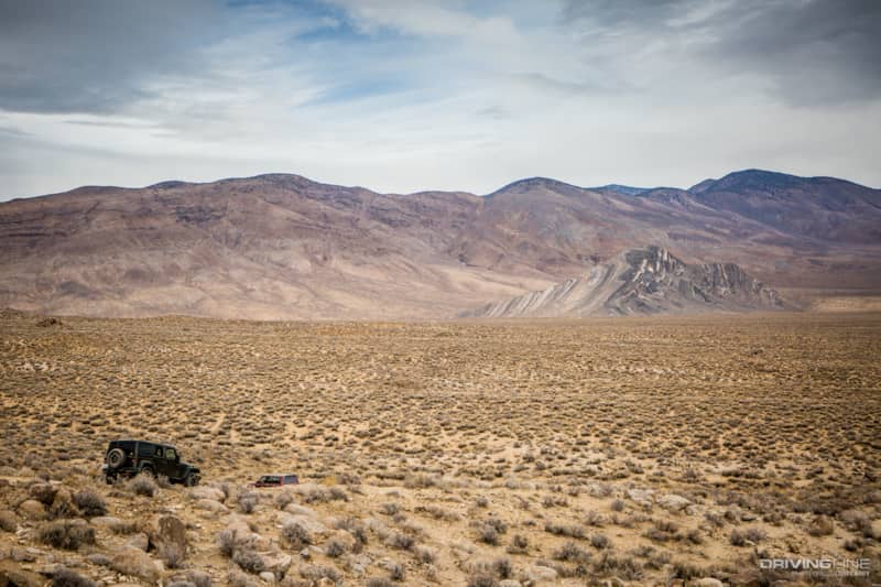
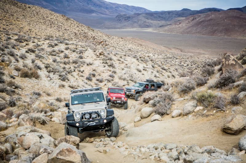
The descent into Butte Valley was steep and rocky.
The scenery was amazing; among the best that Death Valley has to offer.
We finally reached the floor of Butte Valley, named after the Striped Butte rock formation on the valley floor.
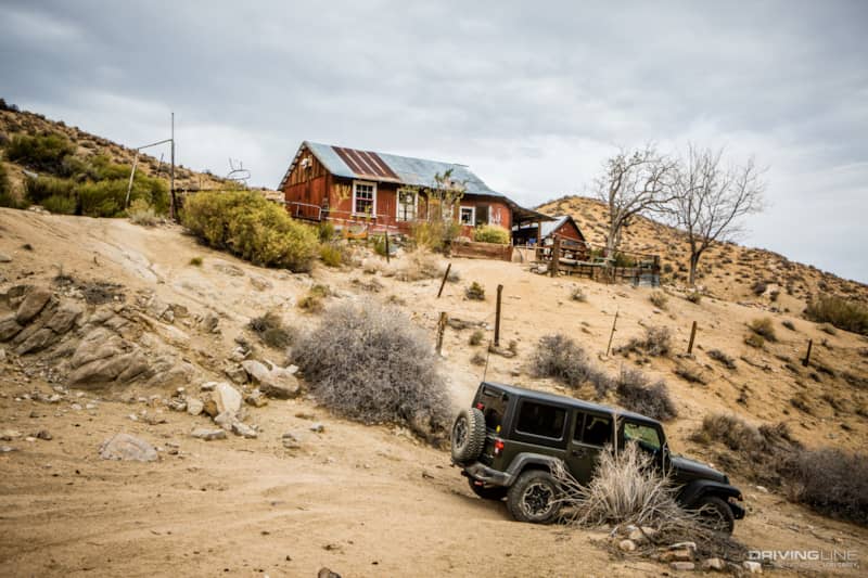
Stopping by the Geologist’s Cabin at Anvil Springs, we continued on quickly as people were staying at the cabin and our dozen rigs had already invaded their peace. The view from here includes an great perspective of Striped Butte.
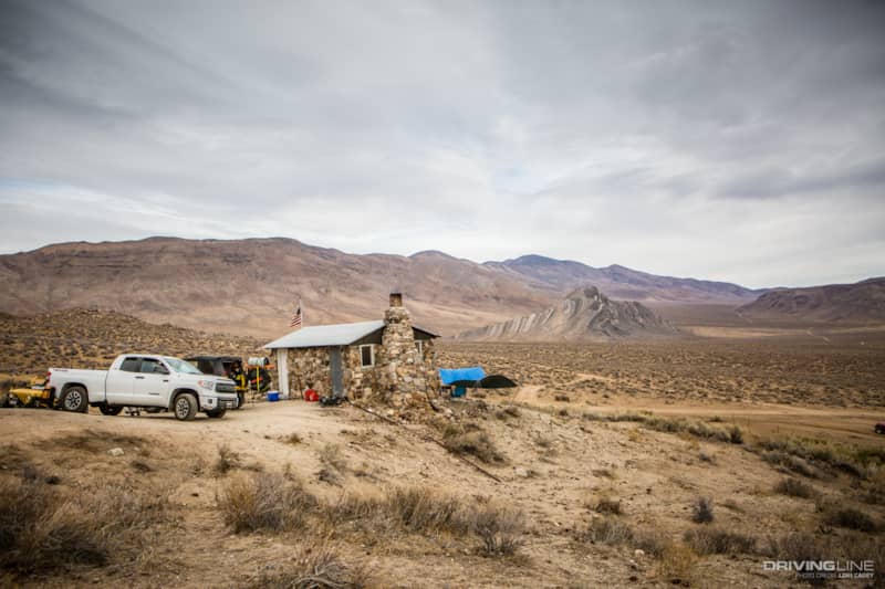
Not far from the Geologist’s Cabin, we stopped by Mengel’s Cabin at Greater View Spring for lunch. From there we took some time to explore Russell’s Camp a short distance away. Both cabins sit below the 7,200-foot Manly Peak in the Panamint Mountains.
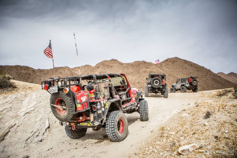
After lunch we started retracing our steps back to Mengel Pass. The rocky sections being more challenging climbing out of the valley through Mengel Pass than they were going downhill.
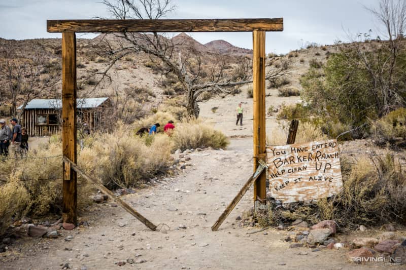
Exploring Barker Ranch
After cresting the summit of Mengel Pass, we took a side trail to the infamous Barker Ranch. This is where Charles Manson and his crew hid out until they were arrested in 1969. The house burned down a few years ago, but the foundation and several other structures remain.
After a full day of wheeling and exploring, we descended Goler Canyon and headed back to base camp for dinner.
Our route covered 61 miles of trail and took us a little over 5 hours to complete, which included some time for exploring. Trail conditions are constantly changing with the weather out in the desert. A trail that can be negotiated in 2WD one day might require an experienced 4WD driver in a modified rig after a storm, and Goler Wash is one of those trails that can change from one extreme to another. It’s always a good idea to check on the trail conditions when you plan to run it, rather than rely on old reports. The best place to get current information is on the Death Valley Road Conditions Facebook page.